Project overview
The City of Courtenay is developing plans to remove the failing retaining wall along Anderton Avenue, restore the riverbank and create space for the community to enjoy.
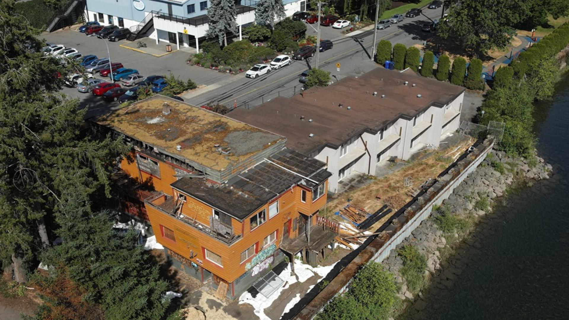
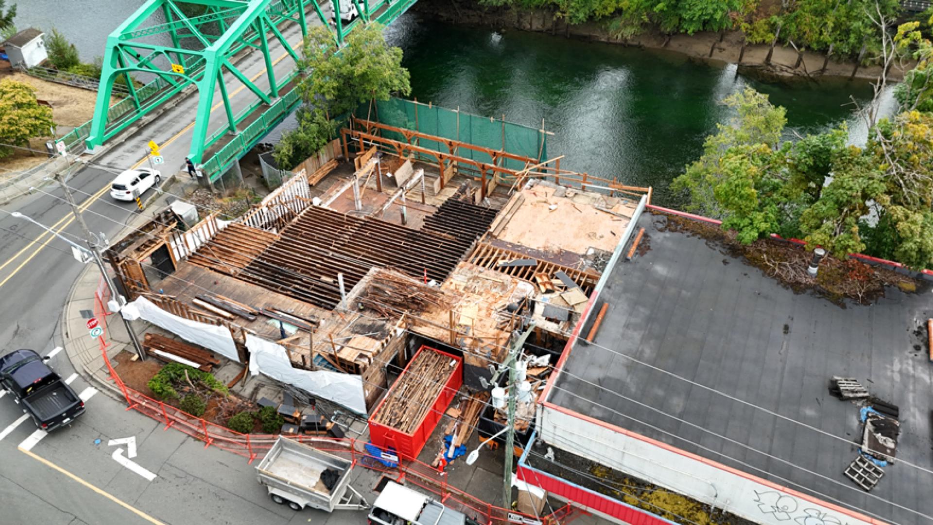
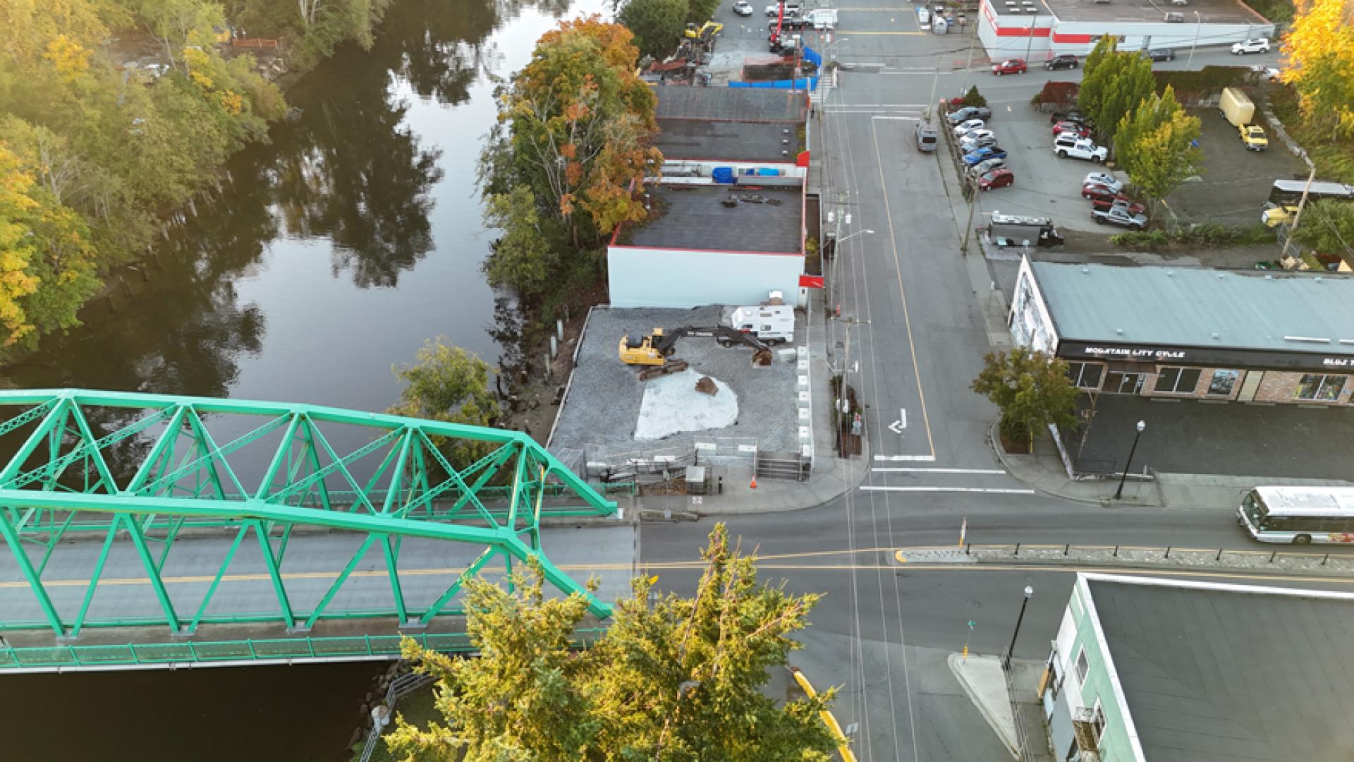
This project builds on earlier work to address safety risks associated with the failing Anderton Avenue retaining wall, including the demolition of several nearby buildings in 2025.
Share your feedback
During the first round of engagement, the community shared the values that should guide the design of the Anderton Riverbank area, along with the amenities they'd like to see. Combined with site assessments and technical analysis, this feedback shaped three conceptual design options.
The City is now seeking public feedback on these design options. Input from this round of engagement will help guide the development of a preferred option, which will be refined through detailed design and construction
Survey
Take the online survey, open July 13 – August 10.
Hard copies will also be available at City Hall.
Take the survey now:
Open house
Join us at our community open house:
- Wednesday, July 15, 2026
- 3:30–7 p.m.
- Riverside Park (opposite the Florence Filberg Centre on Anderton Avenue)
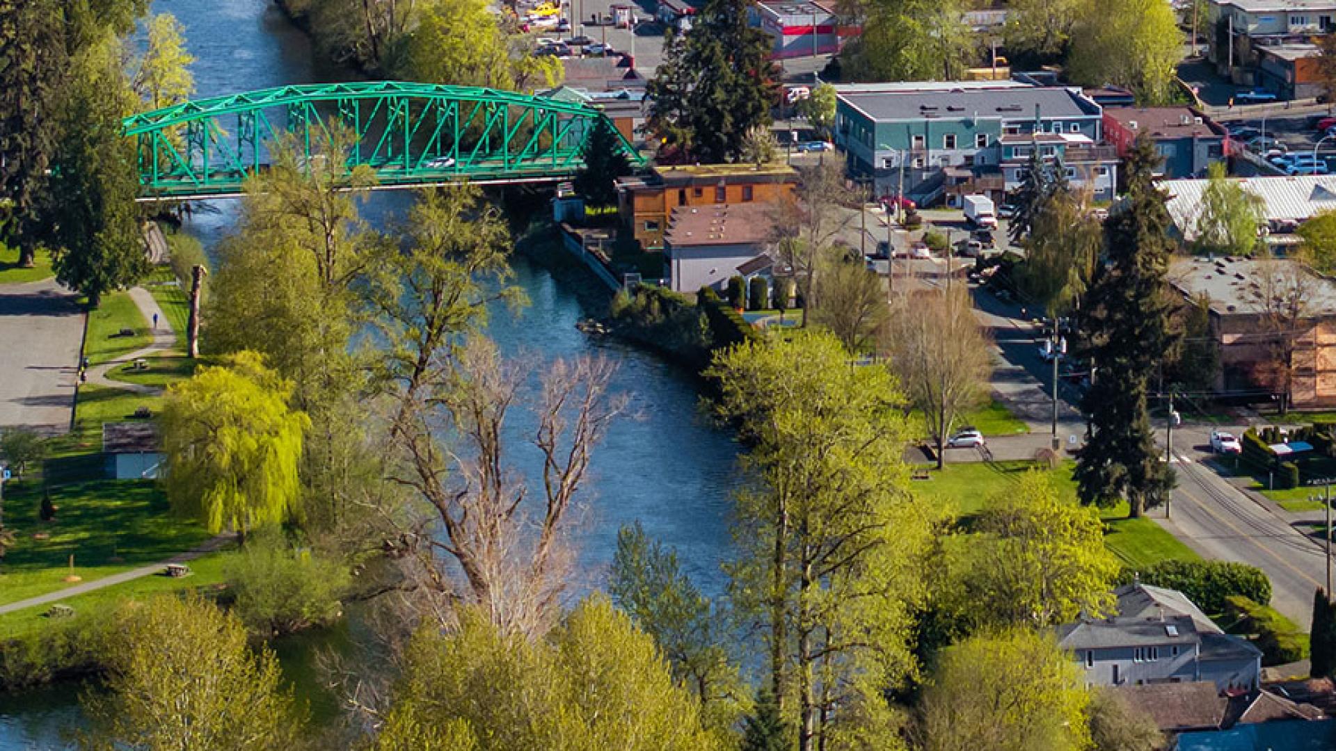
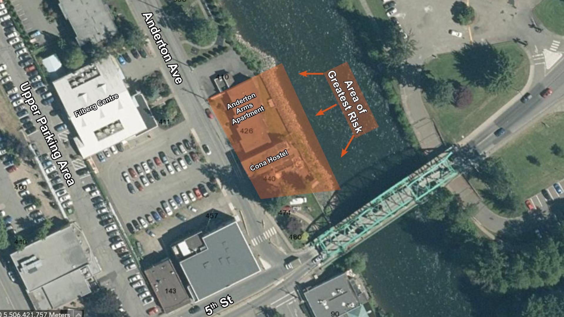
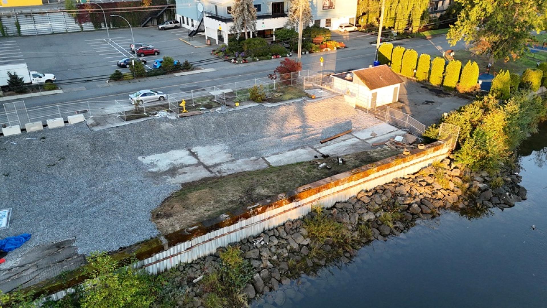
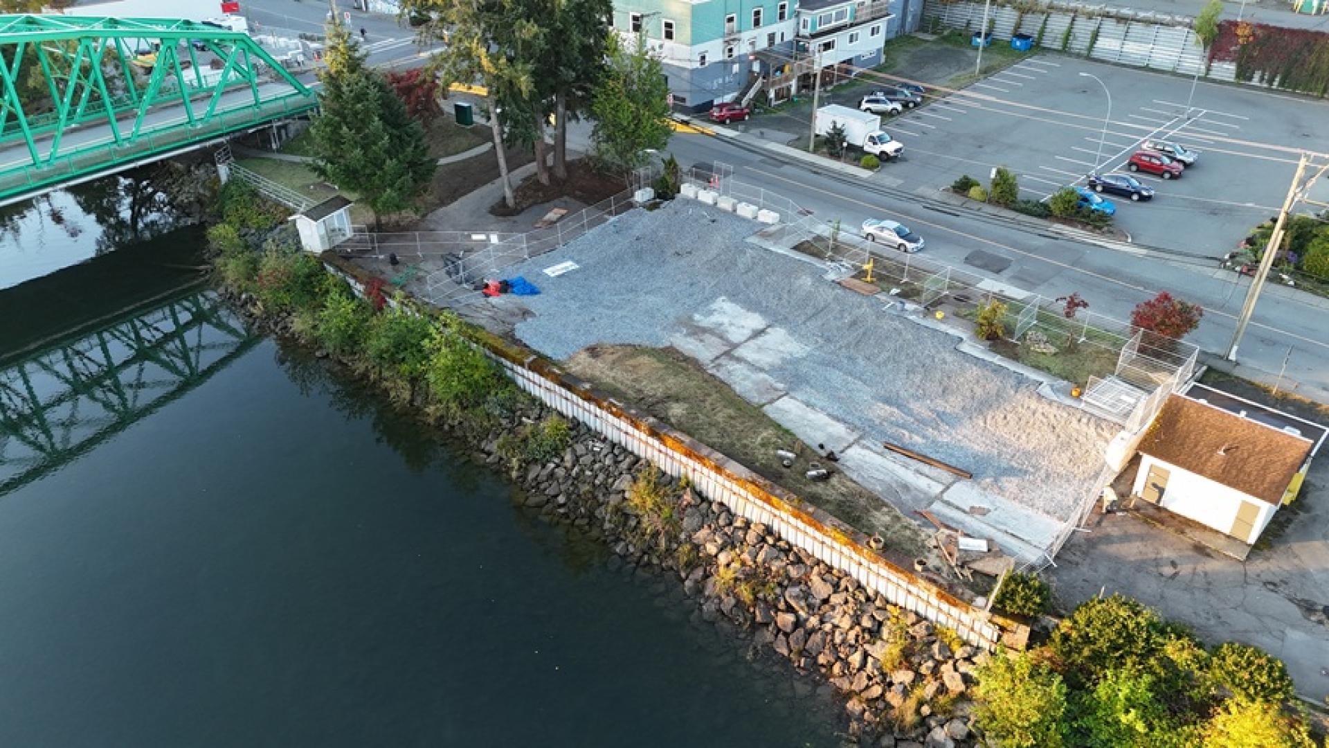
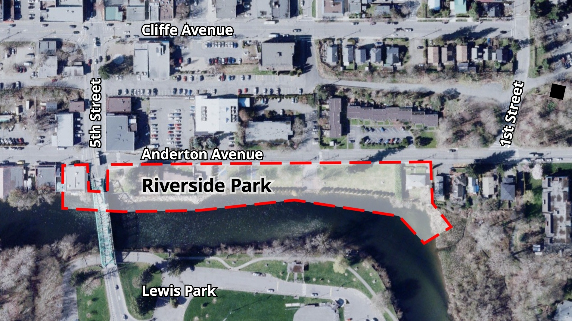
The project area includes land directly behind the sheet-pile and concrete sections of the Anderton Avenue retaining wall on the west bank of the Courtenay River.
The site is approximately 320 metres long, extending from 90 5th Street (the site of the former Bridge Lounge) to the northern limit of Riverside Park.
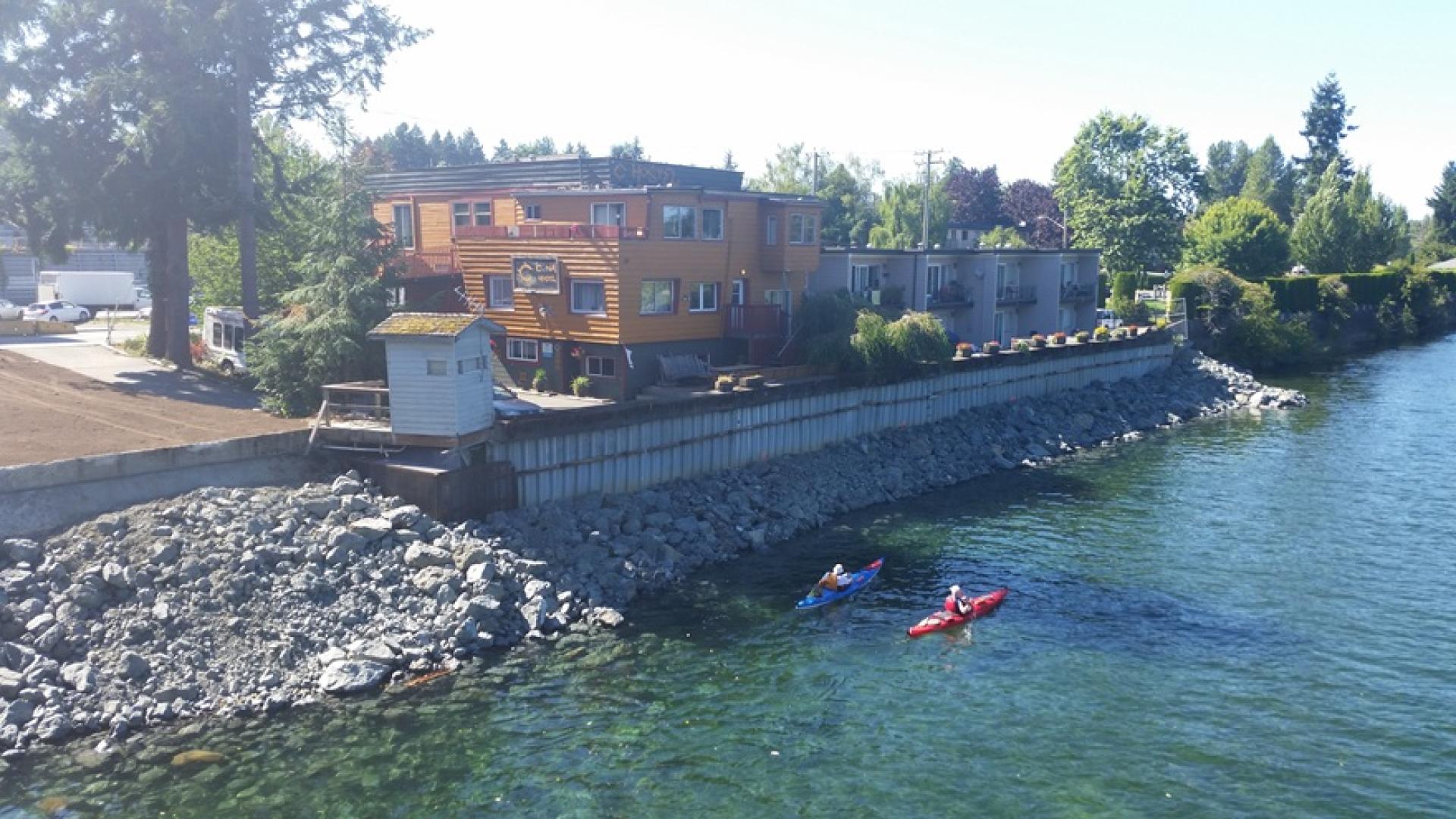
The existing retaining wall along Anderton Avenue has been undermined by erosion and requires replacement.
The wall is a registered flood protection dike. Because the surrounding land is higher than the wall, the riverbank can be restored without increasing flood risk for nearby properties.
Restoring the riverbank will improve long-term stability while allowing the City to explore opportunities to enhance the area for public use.
This phase of the project is funded by the Ministry of Emergency Management and Climate Readiness through the Disaster Resilience Innovation Funding (DRIF) program.
The Anderton Riverbank Restoration project builds on earlier work to address the failing retaining wall along Anderton Avenue, which functions as a registered flood protection dike.
Between 2023 and 2025, the City acquired nearby properties and removed several buildings to address safety risks and prepare the area for future riverbank restoration.
Site history
Image 1 of 8